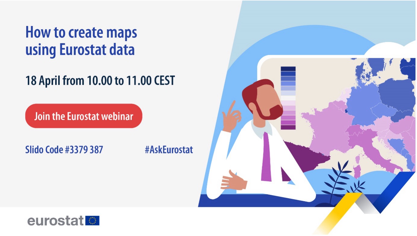
Save the date: webinar on how to create statistical maps

Would you like to know more about how our statistical maps are created and become a mapmaker of your own?
Maps can be powerful tools for data visualisation. They enable us to translate complex information into instantly understandable insights. We would like more people to gain insights on these useful instruments, so we are organising a webinar on statistical maps.
In this webinar, you will learn more about the Geographic Information System of the Commission (GISCO) and how to use Eurostat data to create your own statistical maps with the map generator tool (IMAGE).
The webinar will be held on Thursday, 18 April, from 10.00 to 11.00 (CEST). We invite you to join this event and prepare your questions, because you will have the opportunity to ask our experts via Slido.
The online webinar will be streamed on the dedicated event page on the Eurostat website and the Eurostat Facebook account. It is open to anyone interested, and there is no need to register.
Add the event to your calendar by clicking below and join us.
Add to Calendar Add to Google Calendar Add to Yahoo! Calendar
For more information
If you have any queries, please visit our contact us page.

